Since 1949, the Kentucky Historical Marker program has allowed communities across Kentucky to recognize and share the sites, events and personalities they consider to be important to local, regional, state or national history. To date, more than 2,400 markers help to illuminate Kentucky’s complex story. Learn more about the State Highway Marker Program here.
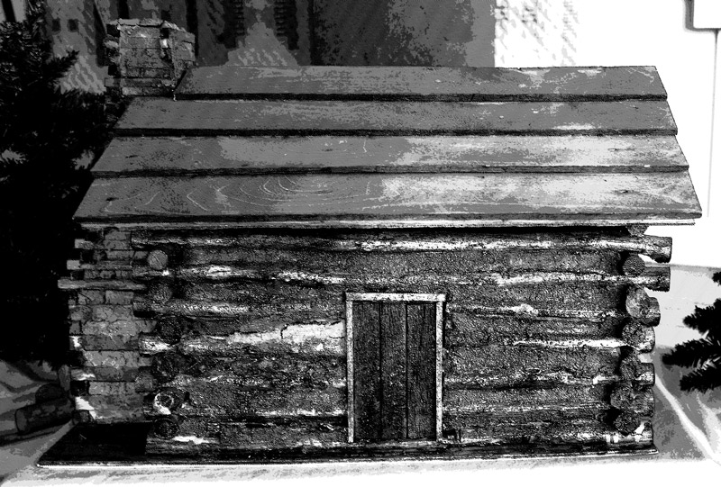
Abraham Lincoln’s First School
Marker Number: 1482
Location: Athertonville, US 31-E
Description: Lincoln’s formal education began in a primitive log cabin near this site. While the Lincoln family was living on Knob Creek, he and his sister Sarah attended ABC schools for a short period of time. First school taught by Zachariah Riney; the second by Caleb Hazel. The Lincolns’ home stood 2 miles south on the old Cumberland Road.
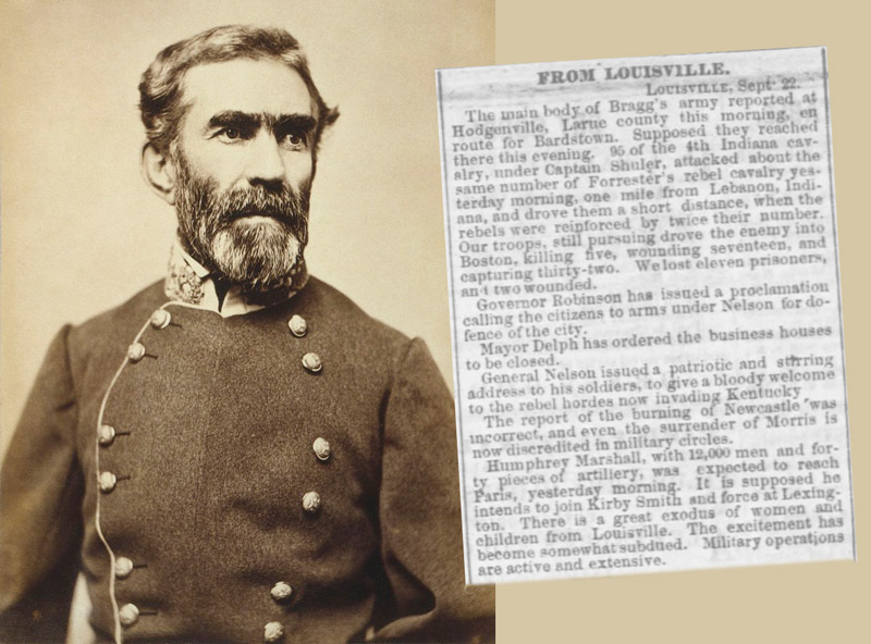
Civil War 1862 Invasion
Marker Number: 749
Location: N. of Phillips La., Hodgenville, KY 61
Description: CSA under Gen. Braxton Bragg was through area late Sept. 1862, with plan to capture central Ky. Force under Gen. Joseph Wheeler here Sept. 23-27, scouting Union army along Louisville road to west. Ordered to Boston, many skirmishes with USA until Oct. 4. On Oct. 8, Confederate and Union forces met in battle at Perryville; then CSA retreated from state.
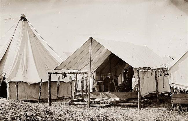
Civil War Drilling Camp
Marker Number: 1631
Location: 3 mi. S. of White City, KY 470
Description: Site of Camp Wickliffe, named for Gov. Charles A. Wickliffe. Brigadier General William Nelson, U.S.A., chose location, near supply depot at New Haven, for observation purposes. His division (4th) made winter camp here (Dec. 14, 1861-Feb. 14, 1862), drilling daily. His strict efficiency led to wholesome food, warm clothing, and improved hospital facilities.
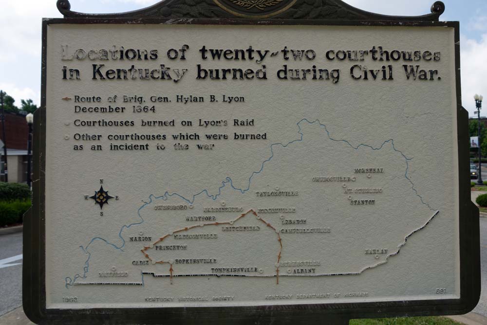
Courthouse Burned
Marker Number: 591
Location: Hodgenville, Courthouse lawn, US 31-E
Description: Twenty-two Kentucky courthouses were burned during Civil War, nineteen in last fifteen months: twelve by Confederates, eight by guerrillas, two by Union accident. See map on reverse side. The courthouse at Hodgenville was burned by guerrillas Feb. 21, 1865. It had been used by Union soldiers as barracks. All of the county records were saved.
Originally erected June 28, 1963.
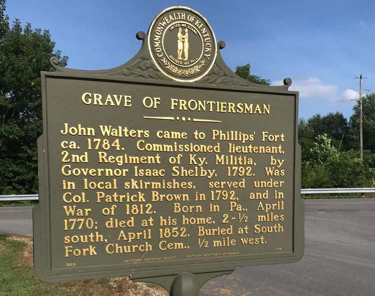
First Baptism in Kentucky
Marker Number: 1114
Location: S. of South Fork Baptist Church, Hodgenville, US 31-E
Description: Seven persons baptized in Nolin Creek, 1782, first in Ky., by Rev. Benjamin Lynn who founded South Fork Church, the second church in Ky. Originally at Phillips Fort, 13 members. Moved to South Fork of Nolin, where church was constituted and cemetery located. Church has assumed style of United, Separate, Regular and Missionary Baptists. Later split by slavery.
(Reverse) Indian Fighter Grave – John Walters came to Phillips Fort in 1780-81. Commissioned Lt., 2nd Regiment of Ky. Militia by Governor Isaac Shelby in 1792. In local skirmishes, 1794 Battle of Brown’s Run under Col. Patrick Brown, War of 1812. Was born April 4, 1770, Beacon Town, Pa., in valley of Monongahela. Died April 17, 1852, at home 21/2 miles south. Buried South Fork Cemetery, 1/2 mi. west.
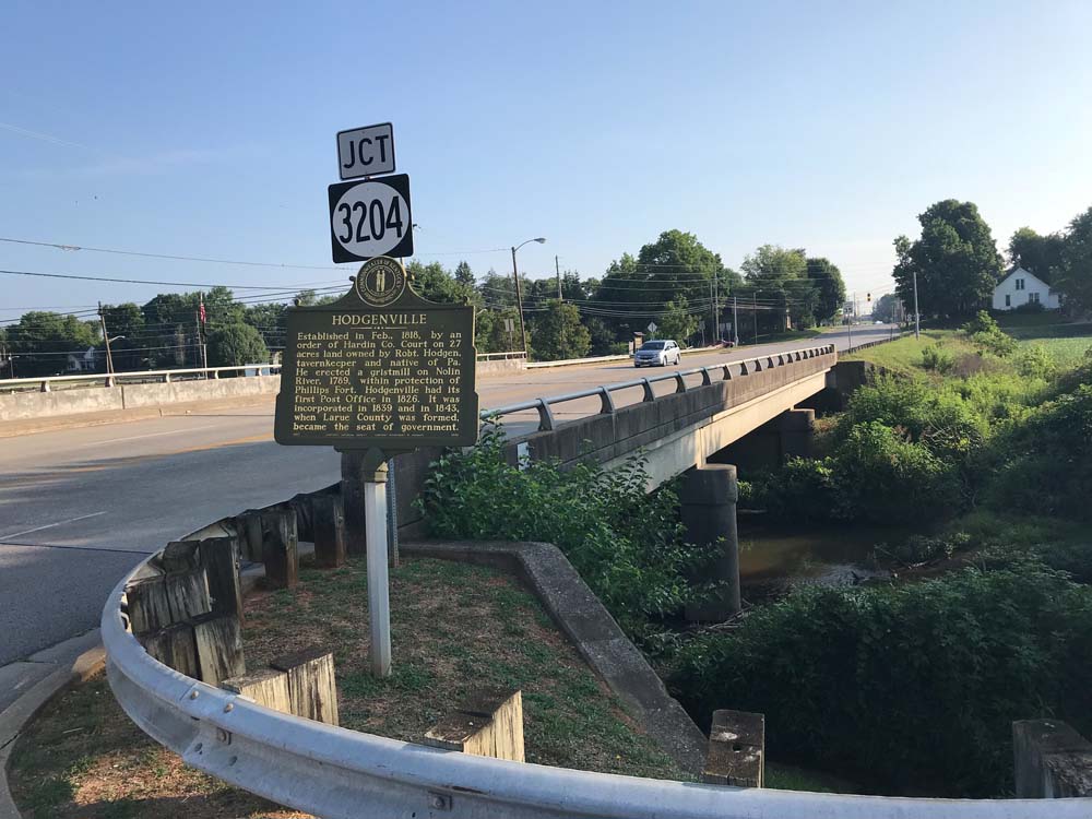
Hodgenville
Marker Number: 1096
Location: Hodgenville, KY 61
Description: Established in Feb., 1818, by order of Hardin County Court on 27 acres and owned by Robt. Hodgen, tavern keeper and native of Pa. He erected a gristmill on Nolin River, 1789, within protection of Phillips Fort. Hodgenville had its first Post Office in 1826. It was incorporated in 1839 and in 1843, when Larue County was formed, became the seat of government.
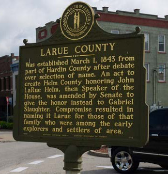
LaRue County
Marker Number: 1115
Location: Hodgenville, US 31-E, KY 61
Description: Was established March 1, 1843 from part of Hardin County after debate over selection of name. An act to create Helm County honoring John LaRue Helm, then Speaker of the House, was amended by Senate to give the honor instead to Gabriel Slaughter. Compromise resulted in naming it Larue for those of that family who were among the early explorers and settlers of area.
(Reverse) County Officials-1843 – Joseph Abell, Abraham Miller, Thomas Brown, Lewis Reed, Squire LaRue, John McDougal, Marshall Scott and Jesse Rodman, Justices; Stephen Stone, Clerk; Jonathan F. Cessna, Sheriff; Wm. Elliott, Isham R. Twyman, Jediah Ashcraft, John C. Nevitt and William B. Read, Constables; James Redman, Jailer; William Cessna, Representative. Court first met on March 25, 1843.
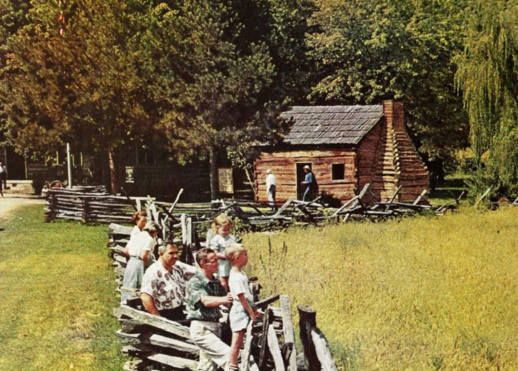
Lincoln Knob Creek Farm
Marker Number: 120
Location: 6 mi. NE of Hodgenville, US 31-E
Description: Abraham Lincoln (1809-1865) lived on this 228 acre farm, 1811-1816. He wrote in 1860: “My earliest recollection is of the Knob Creek place.” A younger brother was born here.
For more information, see ExploreKYHistory
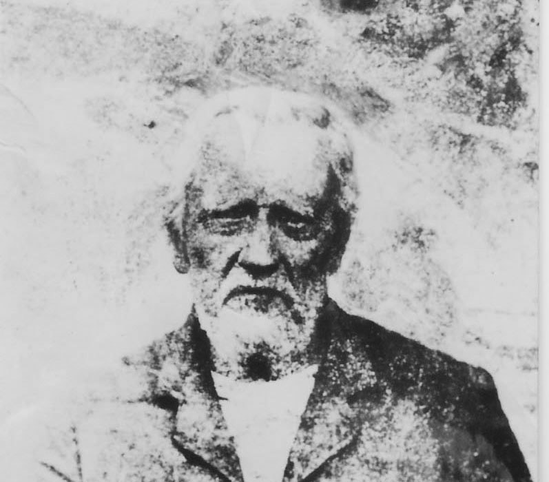
Lincoln’s Playmate
Marker Number: 827
Location: Pleasant Grove Baptist Church, E. of White City, KY 84
Description: To the west, in Pleasant Grove Baptist Church Cemetery, is the grave of Austin Gollaher, 1806-98. Lincoln, while president, once said, “I would rather see (him) than any man living.” They were schoolmates and playmates when the Lincoln family lived in this area, 1813 to 1816. Gollaher is credited with rescuing Lincoln from flooded waters of Knob Creek.
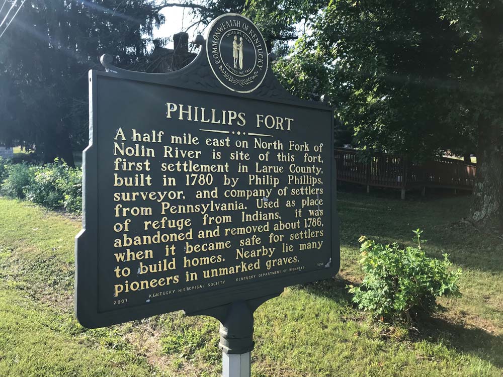
Phillips Fort
Marker Number: 1098
Location: Hodgenville, Jct. KY 210 and Phillips Ln.
Description: A half mile east on North Fork of Nolin River is site of this fort, first settlement in Larue County, built in 1780 by Philip Phillips, surveyor, and company of settlers from Pennsylvania. Used as place of refuge from Indians, it was abandoned and removed about 1786, when it became safe for settlers to build homes. Nearby lie many pioneers in unmarked graves.
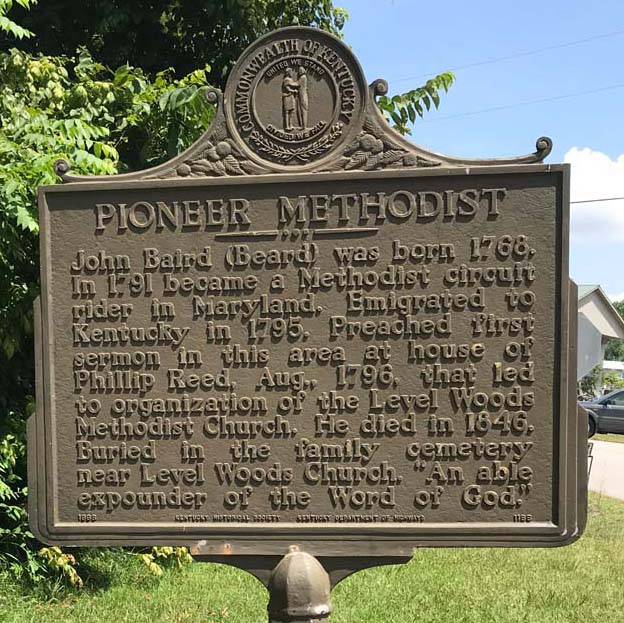
Pioneer Methodist
Marker Number: 1186
Location: KY 210 at 462
Description: John Baird (Beard) was born 1768. In 1791, became a Methodist circuit rider in Maryland. Immigrated to Kentucky in 1795. Preached first sermon in this area at house of Phillip Reed, Aug., 1796, that led to organization of the Level Woods Methodist Church. He died in 1846. Buried in the family cemetery near Level Woods Church. “An able expounder of the Word of God.”